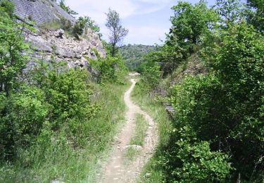
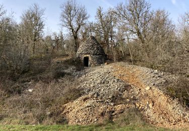
62 km | 81 km-effort
Montat 2
cps46
Utente
Lunghezza
8,7 km
Altitudine massima
278 m
Dislivello positivo
291 m
Km-Effort
12,4 km
Altitudine minima
172 m
Dislivello negativo
220 m
Boucle
No
Data di creazione :
2024-02-06 17:05:09.0
Ultima modifica :
2024-02-06 18:33:17.529
Applicazione GPS da escursionismo GRATUITA
Chi siamo
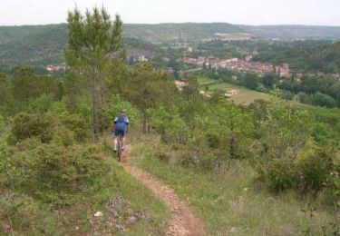
Percorso di 8,7 km da scoprire a Occitania, Lot, Le Montat. Questo percorso è proposto da cps46.
Localizzazione
Paese:
France
Regione :
Occitania
Dipartimento/Provincia :
Lot
Comune :
Le Montat
Località :
Unknown
Partenza:(Dec)
Partenza:(UTM)
376817 ; 4917127 (31T) N.
Commenti
Percorsi nelle vicinanze
Cahors - Lascabanes - Chemin de Compostelle
Marcia
Molto difficile
(1)
Cahors,
Occitania,
Lot,
France
24 km | 31 km-effort
9h 30min
No
Raid Cahors La Rozière 2006
Mountainbike
Molto difficile
Cahors,
Occitania,
Lot,
France
59 km | 78 km-effort
4h 40min
Sì
Flaujac
Marcia
Molto facile
Flaujac-Poujols,
Occitania,
Lot,
France
7,5 km | 10,1 km-effort
1h 48min
Sì
De la Rozière à Labastide-Marnhac
Mountainbike
Medio
Cahors,
Occitania,
Lot,
France
17,2 km | 22 km-effort
1h 30min
Sì
De la Rozière à Labastide-Marnhac
Marcia
Difficile
Cahors,
Occitania,
Lot,
France
17,2 km | 22 km-effort
3h 30min
Sì
Compostelle Cahors Moncuq
Marcia
Medio
Cahors,
Occitania,
Lot,
France
39 km | 48 km-effort
7h 23min
No